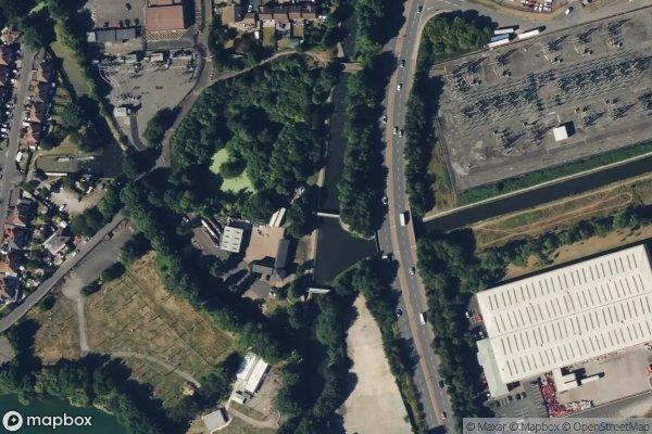
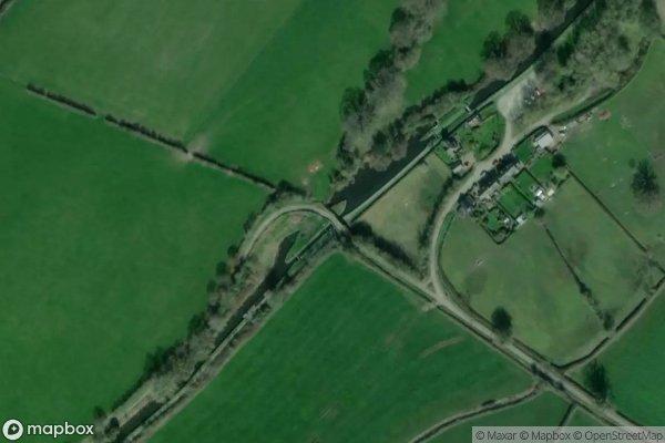
 : Bridge 38, Outwards Bridge
 : track bridge
 : https://www.openstreetmap.org/?mlat=52.5693824460361&mlon=-1.54240949617437#map=17/52.5693824460361/-1.54240949617437

: Bridge 38, Outwards Bridge: track bridge: https://www.openstreetmap.org/?mlat=52.5693824460361&mlon=-1.54240949617437#map=17/52.5693824460361/-1.54240949617437
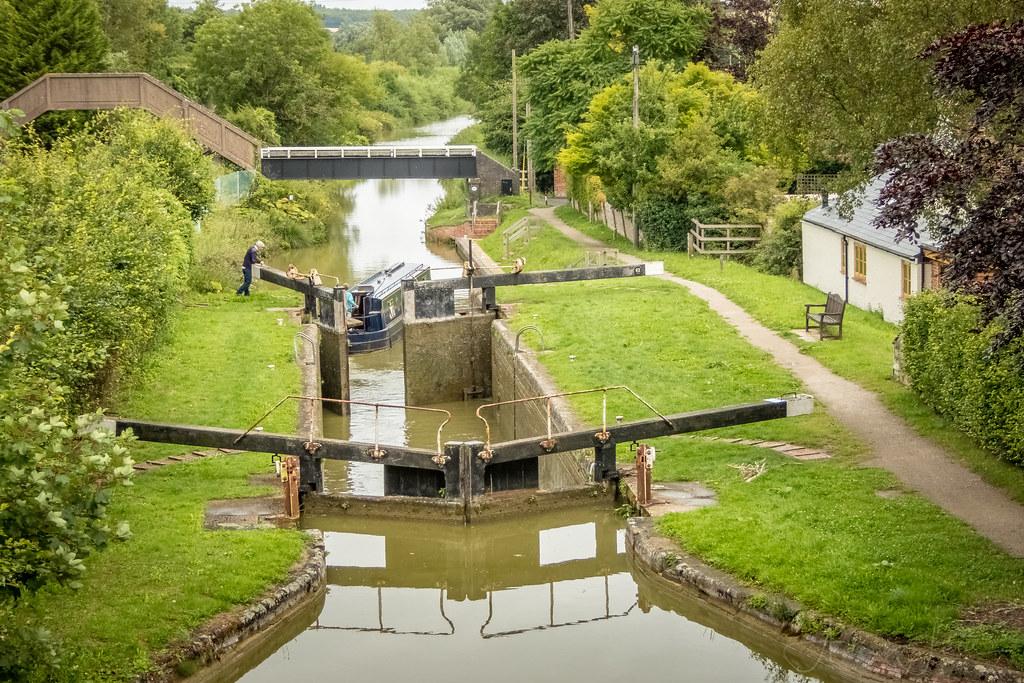
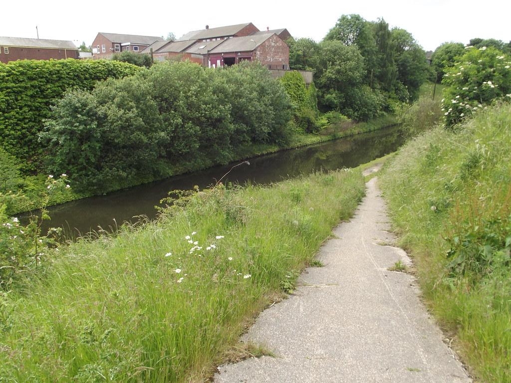
Water holds a natural attraction to humans.
A group of children have approached the canal and suddenly they flow toward the edge. Their teacher shouts angrily to call them back.
But it's WATER…! Of course these kids want to run up to the edge, to see it, to throw things in (and to make a splash!), to wade down the boat ramp.

: Basin Bridge, Bridge Street: towpath bridge: https://www.openstreetmap.org/?mlat=52.4984101635143&mlon=-1.96322769464109#map=17/52.4984101635143/-1.96322769464109
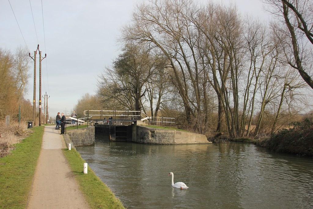
: Bridge 47, Lock Crossover Bridge: footbridge: https://www.openstreetmap.org/?mlat=51.7099092097667&mlon=-0.01691058321089#map=17/51.7099092097667/-0.01691058321089
#canal #narrowboat #england #uk #flickr #leavalley #ons:code=26ub #hertfordshire #boroughofbroxbourne #eastofengland #hertfordshirecounty #wikipedia:en=cheshuntlock #lock #leenavigation #tl3700003169 #wikidata:item=q5093234
: Bridge 96, Church Lock Bridge: track bridge: https://www.openstreetmap.org/?mlat=51.3757253261665&mlon=-1.60155175291564#map=17/51.3757253261665/-1.60155175291564
#canal #narrowboat #england #uk #flickr #winter #sky #sun #clouds #geotagged #village #lock #february #wiltshire #sihouettes #kennetandavoncanal #greatbedwyn #bedwyn #challengeyouwinner #geo:lat=5137555266106946
: Bridge 10, Hunsdon Lock Crossover Bridg: towpath bridge: https://www.openstreetmap.org/?mlat=51.7823899380598&mlon=0.059394923719849#map=17/51.7823899380598/0.059394923719849
: Tame Valley No 2 Bridge, Ocker Hill: towpath bridge: https://www.openstreetmap.org/?mlat=52.5402224776317&mlon=-2.03548483771181#map=17/52.5402224776317/-2.03548483771181
: River Irk Aqueduct: aqueduct: https://www.openstreetmap.org/?mlat=53.5538967907782&mlon=-2.16498732345584#map=17/53.5538967907782/-2.16498732345584
: Winding Hole - Park Head: winding hole: https://www.openstreetmap.org/?mlat=53.8294385888714&mlon=-2.75179039531399#map=17/53.8294385888714/-2.75179039531399
: Fixed Weir 16: weir: https://www.openstreetmap.org/?mlat=52.2944098175328&mlon=-1.62504775509599#map=17/52.2944098175328/-1.62504775509599
: Bridge 19, Skew Bridge West: road bridge: https://www.openstreetmap.org/?mlat=52.3698199888189&mlon=-1.1125181678973#map=17/52.3698199888189/-1.1125181678973
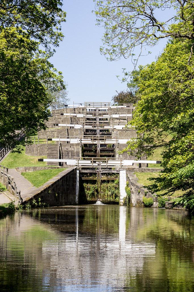
: Lock 25, Bingley 5 Rise Bottom Lock: lock: https://www.openstreetmap.org/?mlat=53.8553699203996&mlon=-1.83784657863207#map=17/53.8553699203996/-1.83784657863207
#canal #narrowboat #england #uk #flickr #2019 #adventure #biketour #cycling #europe #bike #tour #united #kingdom #british #britain #yorkshire #yorks #pennines #architecture #historic #stone #locks #town
: Lyme Green Winding Hole: winding hole: https://www.openstreetmap.org/?mlat=53.236519420867&mlon=-2.12979528404341#map=17/53.236519420867/-2.12979528404341
: Lower Bittell Emergency Spill Weir: weir: https://www.openstreetmap.org/?mlat=52.3652608164698&mlon=-1.97139827685298#map=17/52.3652608164698/-1.97139827685298
: Bridge 121, Belan Bridge: road bridge: https://www.openstreetmap.org/?mlat=52.6390839290612&mlon=-3.16050906654227#map=17/52.6390839290612/-3.16050906654227
: Lock 64, Bottom Lock: lock: https://www.openstreetmap.org/?mlat=53.6811449671889&mlon=-2.62028162532091#map=17/53.6811449671889/-2.62028162532091
#canal #narrowboat #england #uk #flickr #wheelton #lancashire #transport #transport3652021 #leedsliverpoolcanal #lancastercanal #waltonsummitbranch #johnsonshillock #canallocks #day81 #22march #2021 #lock64 #abandoned
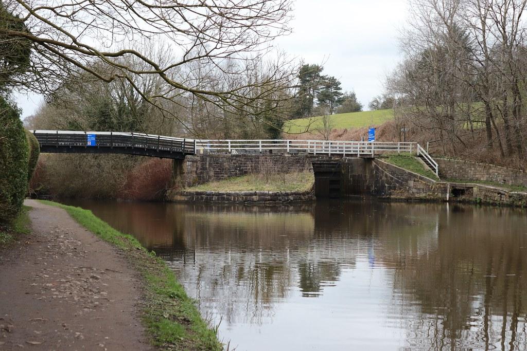
: Bridge 109, New Barn Bridge: track bridge: https://www.openstreetmap.org/?mlat=53.7597826257189&mlon=-2.40473624251739#map=17/53.7597826257189/-2.40473624251739
: Bridge 3, Eccles Br: road bridge: https://www.openstreetmap.org/?mlat=53.3858631008315&mlon=-2.06456431873032#map=17/53.3858631008315/-2.06456431873032
#canal #narrowboat #england #uk #flickr #geotagged #marple #2015 #greatermanchester #hawkgreen #stockportsk6 #panasonicdmctz35
: Bridge 93, Little Bedwyn Footbridge: towpath bridge: https://www.openstreetmap.org/?mlat=51.3924670119431&mlon=-1.58313831293568#map=17/51.3924670119431/-1.58313831293568
#canal #narrowboat #england #uk #flickr #5why #barges #cycleride #europe #kennetandavoncanal #sport #unitedkingdom #waterway #cycling #littlebedwyn #wiltshire #gb #appletv1488 #2017 #july #29072017 #29jul2017 #29